

ROCK Robotic
#1 in Drone LiDAR Mapping with Survey-Grade Accuracy
BUSINESS LOCATION
4800 Dahlia St, Denver, CO, 80216, USCONTACT HUB
BUSINESS OVERVIEW
ROCK Robotic is a leading provider of professional drone LiDAR mapping solutions based in Denver, Colorado. They offer advanced hardware, cloud software, and professional services designed to capture survey-grade LiDAR data efficiently and accurately. Trusted by engineers, surveyors, and utilities worldwide, ROCK Robotic's products and services streamline the entire LiDAR workflow from data capture to final deliverables.
SERVICE AREAS
Denver
Colorado
WORKING HOURS
CLOSED UNTIL 09:00 AMSERVICES & SPECIALTIES
- Drone LiDAR Mapping
- Survey-Grade Accuracy
- Cloud Mapping Software
- Professional LiDAR Services
- Mobile and Handheld LiDAR Systems
- LiDAR Data Processing
- Topographic Mapping
- Utility Corridor Mapping
- Professional Services
- ROCK Pro Services
- ROCK Surveyor
- ROCK Planimetrics
- ROCK BIM
- PLS-CADD Deliverables
- Training and Support
- Customer Support
Frequently Asked Questions (FAQs)
ROCK Robotic is located at 4800 Dahlia St, Denver, CO 80216.
You can contact ROCK Robotic by calling +1(720) 706-8648.
ROCK Robotic is listed under the following categories: Civil engineering company, Land Surveyor, Software Company .
ROCK Robotic provides services in the following areas: Denver, Colorado .
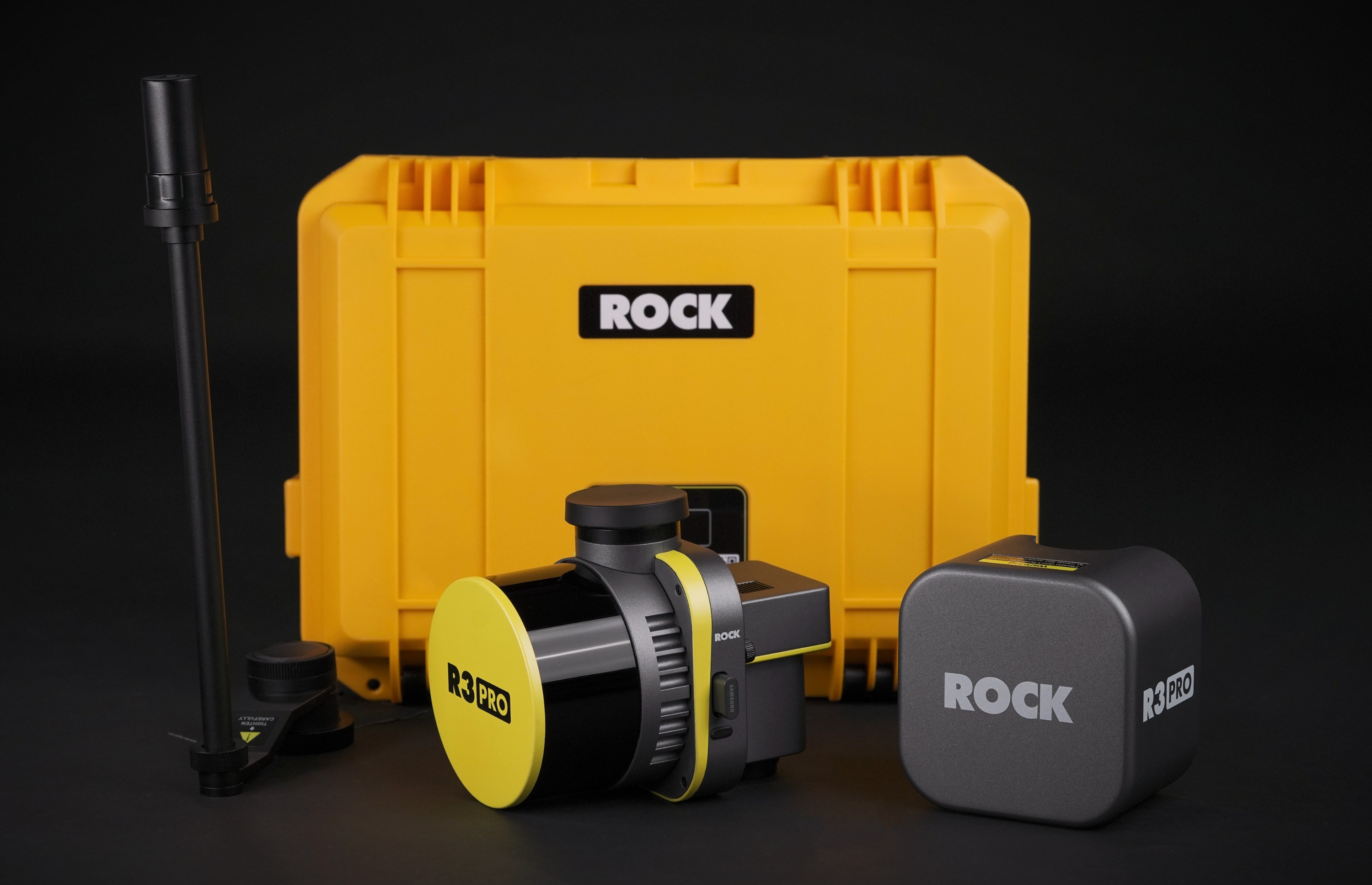
ROCK Robotic offers the following products: ROCK Ultra, ROCK R3 Pro V2, ROCK R3, ROCK SLAM Dock V2, ROCK Mobile Mount, PortalCam, Lixel L2 Pro, ROCK Base Station .
ROCK Robotic provides a range of services, including: Professional Services, ROCK Pro Services, ROCK Surveyor, ROCK Planimetrics, ROCK BIM, PLS-CADD Deliverables, Training and Support, Customer Support .
ROCK Robotic specializes in: Drone LiDAR Mapping, Survey-Grade Accuracy, Cloud Mapping Software, Professional LiDAR Services, Mobile and Handheld LiDAR Systems, LiDAR Data Processing, Topographic Mapping, Utility Corridor Mapping .
ROCK Robotic was established in 2016.
The languages spoken at ROCK Robotic include: English .
ROCK Robotic accepts the following payment options: Financing, Visa, MasterCard, American Express, PayPal .
RECENT FEEDBACK
FETCHING FEEDBACK...